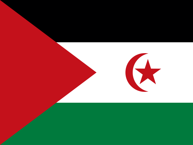
Western Sahara
Territory in Africa
CountryScope
In brief
Area: 266,000 km². World rank 79 of 249; in Africa, 31 of 59.
State
- Official name
- Sahrawi Arab Democratic Republic
- Local name
- Western Sahara
- Capital
- El Aaiún
- Region
- Africa
- UN member
- No
Key figures
- Area
- 266,000 km²
Practical information
- Languages
- Berber, Hassaniya, Spanish
- Currency
- Algerian Dinar (DZD), Moroccan Dirham (MAD), Mauritanian Ouguiya (MRU)
- Time zones
- UTC
- Calling code
- +212
- Driving side
- Right
Territory
- Sea access
- Has a coastline
- Coastline, km
- 1,110
- Neighbours
- Algeria, Mauritania, Morocco
Elevation
- Highest point
- unnamed elevation, 805 m
- Lowest point
- Sebkha Tah, -55 m
- Mean elevation, m
- 256
Climate
- Average temperature in the capital, °C
- 21
- Warmest month in the capital
- August, 25°C
- Coldest month in the capital
- January, 16°C
Safety
- Natural hazards
- dust and sand storms
Internet and communications
- Internet domain
- .eh
Transport
- Airports
- 6 2013