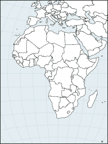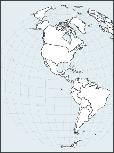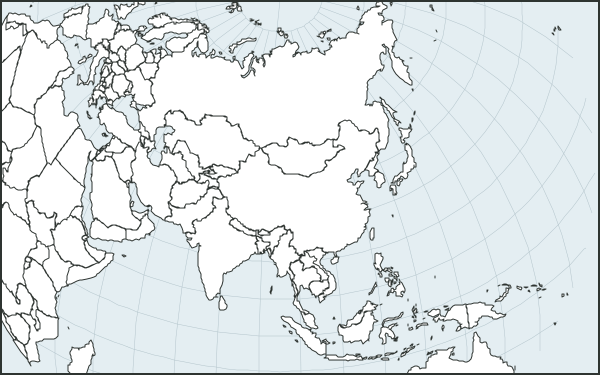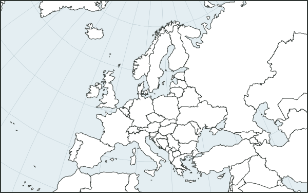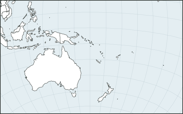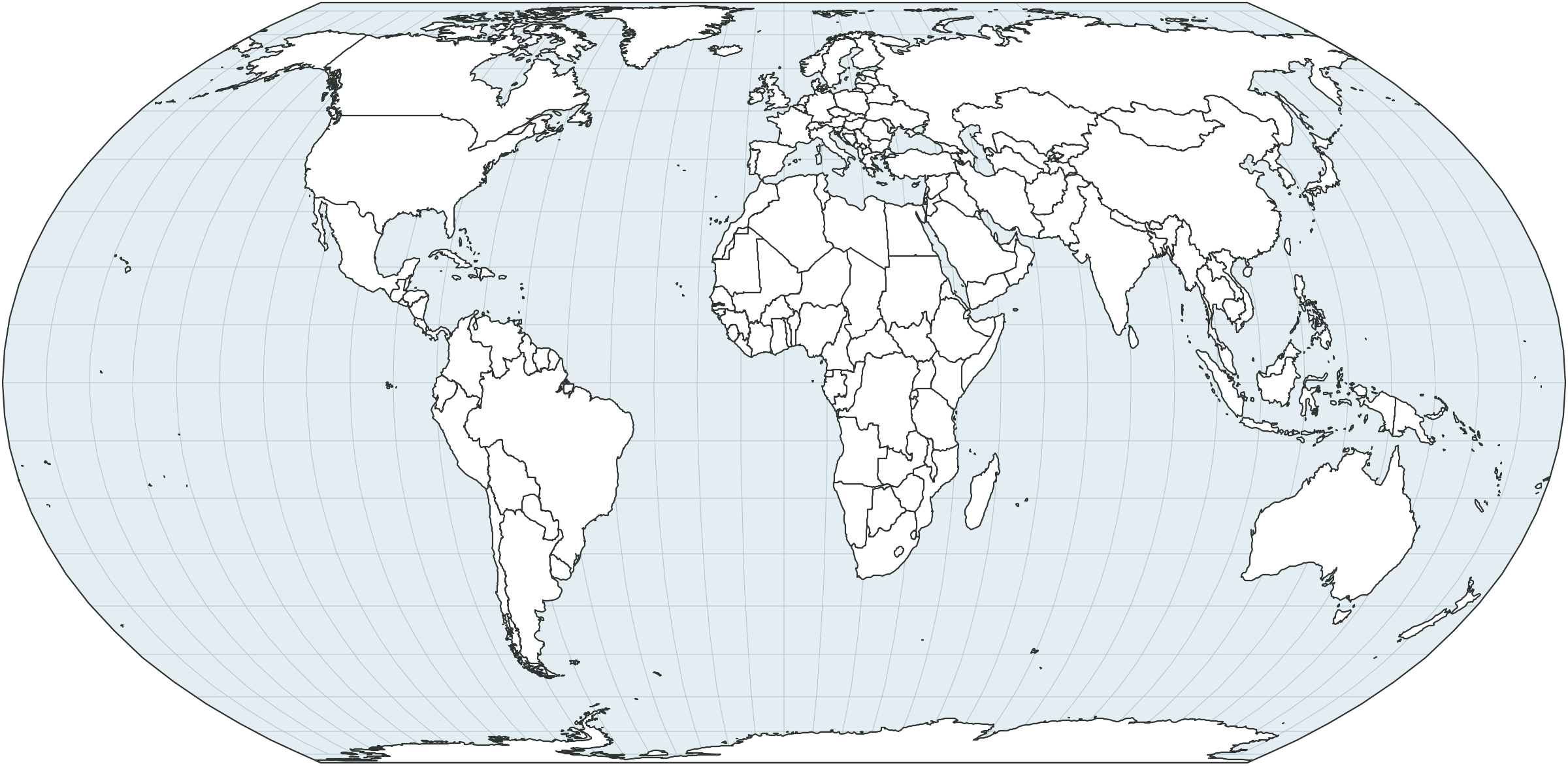
Blank world map
Country borders without names. For geography lessons, homework and quizzes.
Free blank maps, flags, country fact sheets and data tables for lessons, homework, reports and presentations.
Country borders without names. For geography lessons, homework and quizzes.
Country borders without names. For geography lessons, homework and quizzes.
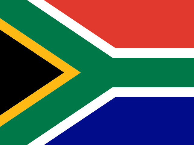
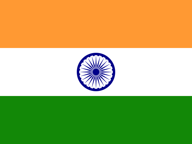
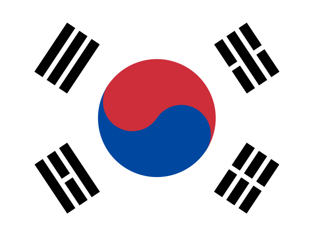
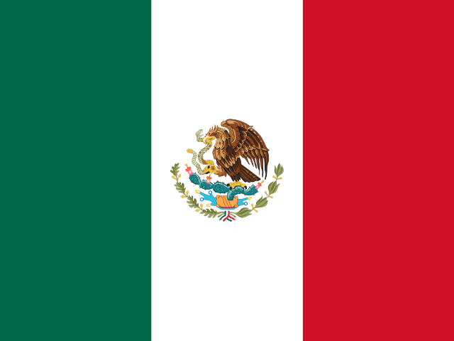
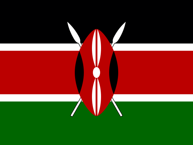
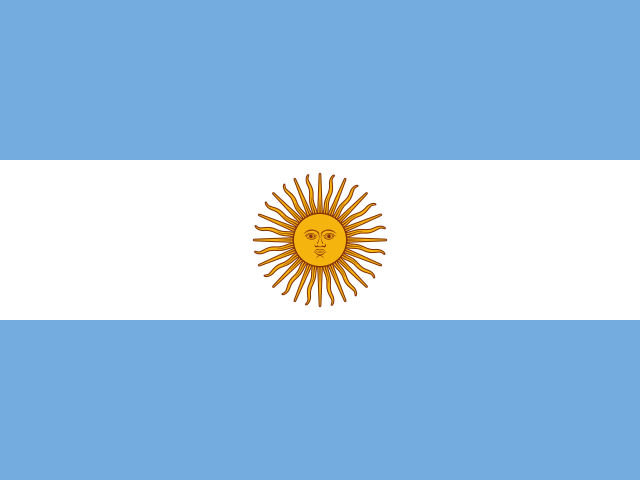
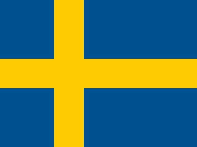
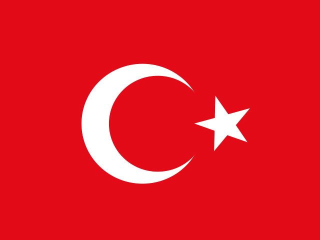
Flags of all independent countries (194) on A4 sheets: with names, or numbered for a quiz with an answer key.
A map, key figures and sources on A4 — print it or save as PDF. The tables hold every indicator for all years since 1960.
All countries and all years since 1960 in one table.
You may use everything on this page for free, including commercially — just credit the source. Borders: Natural Earth (public domain); flags: flag-icons (MIT).
Source: CountryScope (https://countryscope.org), based on World Bank Open Data (CC BY 4.0). Retrieved October 23, 2026.