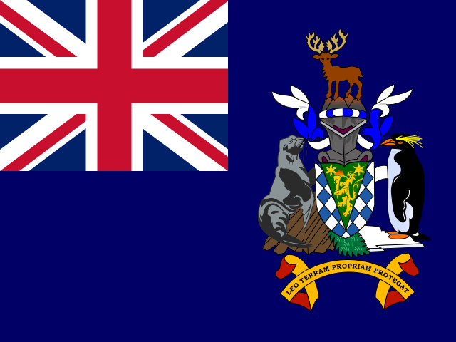
South Georgia
Territory in Antarctic
CountryScope
In brief
Area: 3,903 km². World rank 178 of 249.
State
- Official name
- South Georgia and the South Sandwich Islands
- Local name
- South Georgia
- Capital
- King Edward Point
- Region
- Antarctic
- UN member
- No
- Head of government
- Nigel Haywood
Key figures
- Area
- 3,903 km²
Practical information
- Languages
- English
- Currency
- St. Helena Pound (SHP)
- Time zones
- UTC−2
- Calling code
- +500
- Emergency numbers
- 999
- Driving side
- Left
Territory
- Sea access
- Has a coastline
- Neighbours
- None
Elevation
- Highest point
- Mount Paget, 2,934 m
- Lowest point
- Atlantic Ocean, 0 m
Climate
- Average temperature in the capital, °C
- 0
- Warmest month in the capital
- February, 3°C
- Coldest month in the capital
- July, -2°C
Safety
- Natural hazards
- volcanoes
Internet and communications
- Internet domain
- .gs