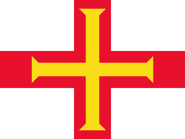
Guernsey
Territory in Europe
CountryScope
In brief
Area: 78 km². World rank 231 of 249; in Europe, 48 of 52.
State
- Official name
- Bailiwick of Guernsey
- Local name
- Guernsey
- Capital
- St. Peter Port
- Region
- Europe
- Form of government
- Parliamentary democracy
- UN member
- No
- Head of state
- Charles III
- Head of government
- Lindsay de Sausmarez
Key figures
- Area
- 78 km²
Practical information
- Languages
- English, French, Guernésiais
- Currency
- British Pound (GBP), Guernsey pound (GGP)
- Time zones
- UTC+1
- Calling code
- +44
- Emergency numbers
- 112, 999
- Driving side
- Left
- Plug types
- C, G
- Mains voltage
- 230 V
Territory
- Sea access
- Has a coastline
- Coastline, km
- 50
- Neighbours
- None
Elevation
- Highest point
- Le Moulin, 114 m
- Lowest point
- English Channel, 0 m
Climate
- Average temperature in the capital, °C
- 12
- Warmest month in the capital
- August, 17°C
- Coldest month in the capital
- February, 8°C
Internet and communications
- Internet domain
- .gg
Transport
- Airports
- 2 2025