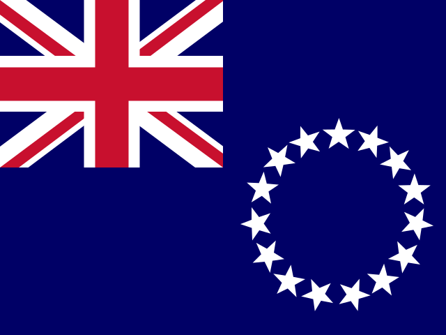
Cook Islands
Territory in Oceania
CountryScope
In brief
Area: 236 km². World rank 220 of 249; in Oceania, 17 of 27.
State
- Official name
- Cook Islands
- Local name
- Cook Islands
- Capital
- Avarua
- Region
- Oceania
- Form of government
- Parliamentary democracy
- UN member
- No
- Head of state
- Charles III
- Head of government
- Mark Brown
Key figures
- Area
- 236 km²
Practical information
- Languages
- English, Cook Islands Māori
- Currency
- Cook Islands dollar (CKD), New Zealand Dollar (NZD)
- Time zones
- UTC−10
- Calling code
- +682
- Emergency numbers
- 996, 998, 999
- Driving side
- Left
- Plug types
- I
- Mains voltage
- 240 V
Territory
- Sea access
- Has a coastline
- Coastline, km
- 120
- Neighbours
- None
Elevation
- Highest point
- Te Manga, 652 m
- Lowest point
- Pacific Ocean, 0 m
Climate
- Average temperature in the capital, °C
- 25
- Warmest month in the capital
- February, 27°C
- Coldest month in the capital
- August, 23°C
Society
- Religions
- Protestant 57.1%, Catholic 16.7%, other Christian 6.1%, and other 4.5% (2021)
Safety
- Natural hazards
- tropical cyclones
Internet and communications
- Internet domain
- .ck
Transport
- Airports
- 10 2025