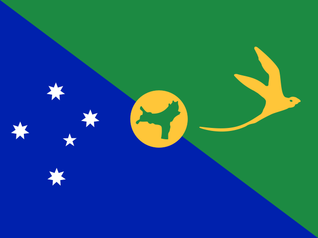
Christmas Island
Territory in Oceania
CountryScope
In brief
Area: 135 km². World rank 227 of 249; in Oceania, 21 of 27.
State
- Official name
- Territory of Christmas Island
- Local name
- Christmas Island
- Capital
- Flying Fish Cove
- Region
- Oceania
- Form of government
- Dependent territory
- UN member
- No
Key figures
- Area
- 135 km²
Practical information
- Languages
- English
- Currency
- Australian Dollar (AUD)
- Time zones
- UTC+7
- Calling code
- +61
- Driving side
- Left
Territory
- Sea access
- Has a coastline
- Coastline, km
- 139
- Neighbours
- None
Elevation
- Highest point
- Murray Hill, Christmas Island, 361 m
- Lowest point
- Indian Ocean, 0 m
Climate
- Average temperature in the capital, °C
- 27
- Warmest month in the capital
- April, 28°C
- Coldest month in the capital
- September, 26°C
Society
- Religions
- Muslim 19.4%, Buddhist 18.3%, no religion 15.3%, Catholic 8.8%, and Protestant 6.5% (2016)
Internet and communications
- Internet domain
- .cx
Transport
- Airports
- 1 2025
- Railways, km
- 18 2017