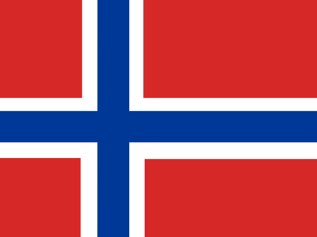
Bouvet Island
Territory in Antarctic
CountryScope
In brief
Area: 49 km². World rank 236 of 249.
State
- Official name
- Bouvet Island
- Local name
- Bouvetøya
- Region
- Antarctic
- UN member
- No
Key figures
- Area
- 49 km²
Practical information
- Languages
- Norwegian
- Calling code
- +47
Territory
- Sea access
- Has a coastline
- Coastline, km
- 30
- Neighbours
- None
Elevation
- Highest point
- Olavtoppen, 780 m
- Lowest point
- South Atlantic Ocean, 0 m
Safety
- Natural hazards
- volcanoes
Internet and communications
- Internet domain
- .bv